The Eaglescanner X1
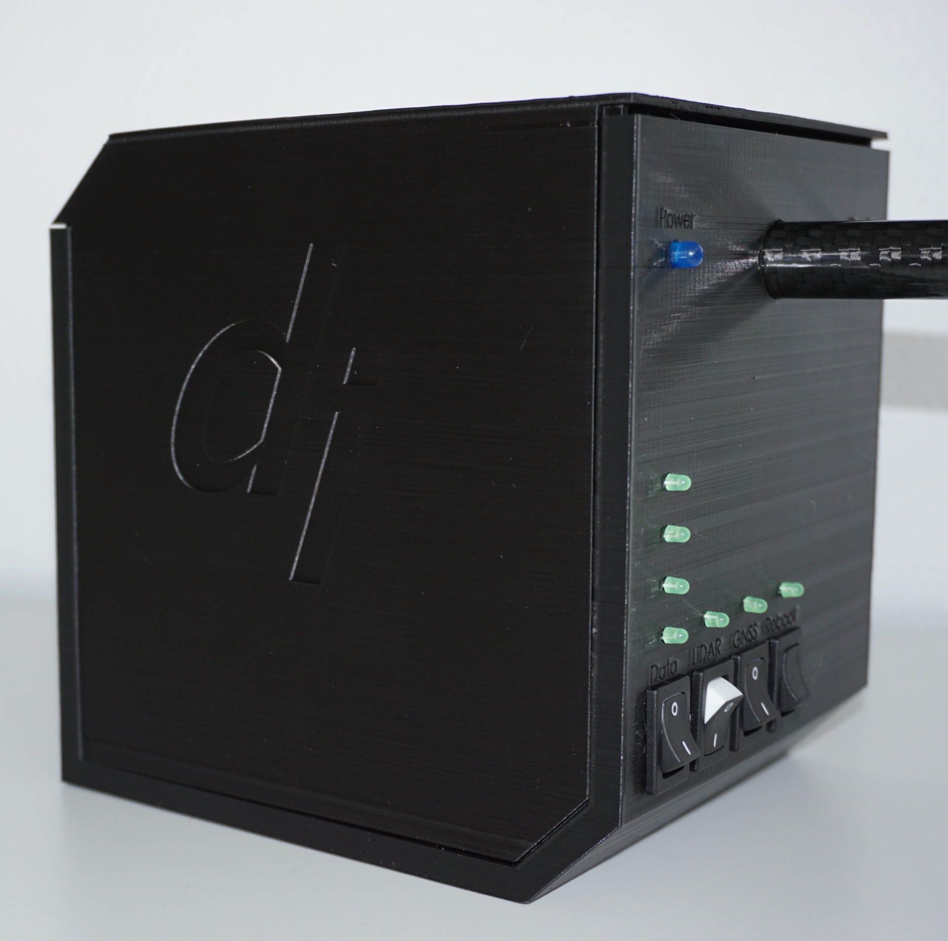
We have been developing a LiDAR scanner that can be placed on a drone. In fact, it can be placed on any standard gimble that fits on an industrial drone.
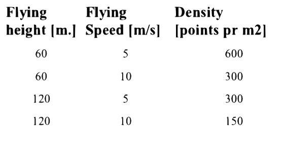
With this new payload package we can provide high precision laser scanned point clouds from drones. The drone flies up to 120 m. above ground and the onboard LiDAR sensor and navigation unit provides Digital Terrain and Digital Surface models with an expected point accuracy of 3 cm. and with a typical resolution starting with 150 points pr. m2 and up depending on the flying height and speed.
If you like to know more contact us.


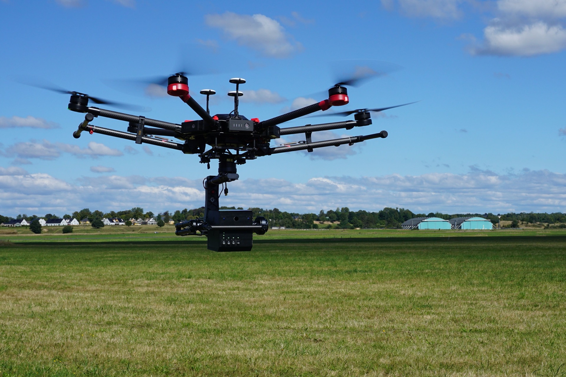
Image: Eaglescanner X1 mounted onto a DJI M600 in air
Specifications
The LiDAR sensor we are using provides 240.000 points pr. sec. and operates with a laser wavelength at 905 nm. Class 1 (IEC 60825-1:2014). Dual and triple target detection is possible in order to distinguish between top of vegetation and the terrain.
Our navigation solution is based on postprocessed high precision GNSS and IMU data in a tightly coupled kalman filter solution with forward and backward calculation. Superior in areas with poor sky visibility like under bridges compared to traditional methods
It is expected that on a flight mission the drone can cover 1,5 km2 pr. day. This estimate is done flying with a DJI matrice 600 hexacopter. The Eaglescanner X1 can operate both in daytime and at night. Post-processing time is depends on size of area.

MODELS
- Digital Surface Model (DSM)
- Digital Terrain Model (DTM)
- Raw XYZ point clouds in standard formats- Point 3D accuracy 3 cm.
See the table, for a reference to the point density X2020 produces.
LiDAR vs. Imaging
In comparing flying with LiDAR to Imaging, LiDAR has some cool advantages, see the bullets below.
LiDAR:
- Intuitive data processing
- Short processing time
- Does not use ground control points
- Does not depend on sharp and high objects like fences for vertical accuracy
- Can operate under poor light conditions; mornings, afternoon and night.
Imaging:
- Complex data processing
- Long processing time especially large survey areas
- Needs ground control points, cumbersome maintenance and/or surveying
- Difficult to survey sharp and high objects like fences
- Light conditions needs to be right, otherwise shading artifacts will occur.
